Measurement Accuracy
Contactless 3D detection of relative position, distance and angular offset
3D LiDAR contactlessly measures the relative position, distance and angular offset between a vehicle/device and a target, feeding real-time correction…
How It Works
Fully automated from data capture to output — no manual intervention.
In-motion or static point cloud capture
Empty-vs-loaded comparison & volume calculation
Vehicle ID & volume data into management systems
Volume reports & settlement evidence for dispute-free billing
Why Neuvition

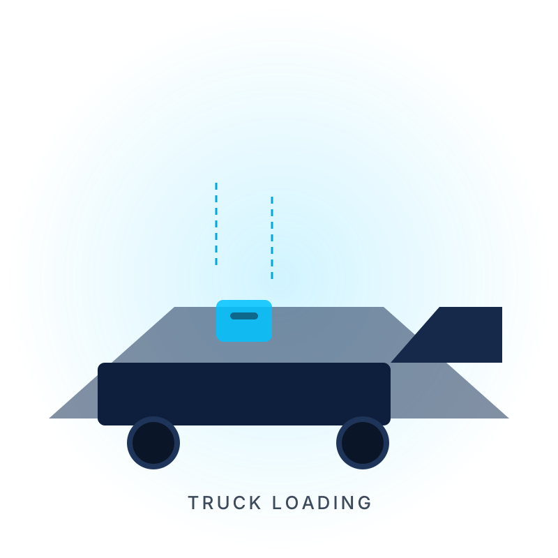
Contactless 3D detection of relative position, distance and angular offset
adapts to different object sizes automatically without manual parameter changes
detect → compute → adjust → re-detect, with PLC feedback for consistent repeatability
Explore customer cases by industry
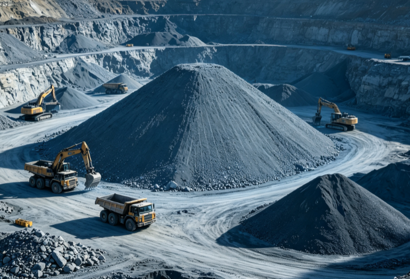 Mining
Monthly stockpile audits & volumetric freight settlement
Mining
Monthly stockpile audits & volumetric freight settlement
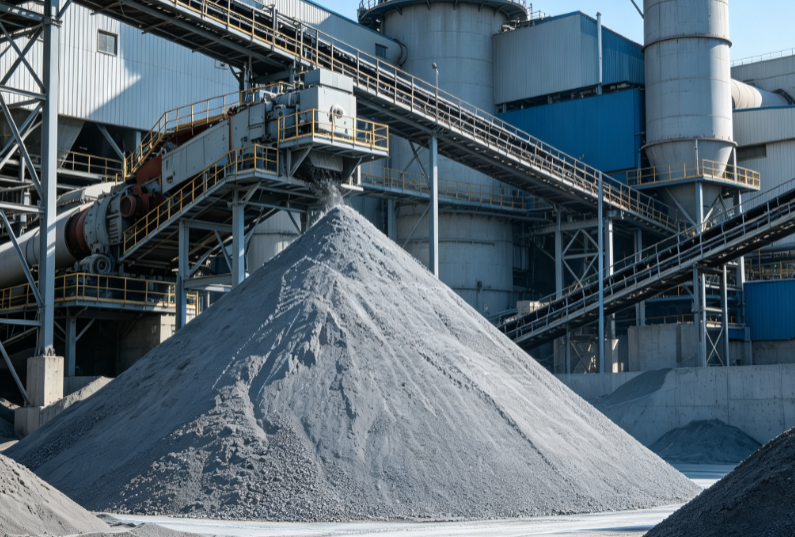 Cement
Clinker & raw stockyard inventory, load metering
Cement
Clinker & raw stockyard inventory, load metering
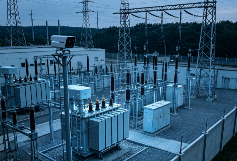 Power
Coal inventory management & feed metering
Power
Coal inventory management & feed metering
 Port
Bulk yard handover & loading metering
Port
Bulk yard handover & loading metering
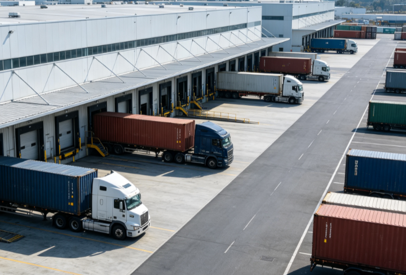 Logistics
Fleet load monitoring & digital waybills
Logistics
Fleet load monitoring & digital waybills
 Grain
Grain depot supervision & load volume
Grain
Grain depot supervision & load volume
This project applies to an automated spray coating production line, solving the automatic positioning of spray carts after they enter a designated station. Before coating begins, the system uses LiDAR to detect the relative position between the spray cart and…
Clinker outbound loading process The customer loads clinker onto trucks via belt conveyors. The project uses a LiDAR-based truck volume measurement system to automatically measure the truck bucket space, combined with vehicle recognition and discharge control, achieving precise, managed clinker…
Load volume measurement and transport data management for bulk aggregate trucks. The system is deployed in the vehicle passage area of the customer's yard, scanning dump trucks in and out in 3D to capture loading status and automatically calculate the…
No for the dynamic solution — drive through steadily under 5 km/h; the static solution requires a stop of about 10 seconds per scan.
±3% (12–25 m³), ±2% (>25 m³).
Direct PLC connectivity via communication protocols and API for higher-level systems.
Light rain or snow is fine; heavy dust or water vapor reduces accuracy.