Still Climbing Stockpiles to Measure?
Stockpile volume measurement — from climbing & total-station to one LiDAR scan
Safety Risk
Portable offline LiDAR still needs manual operation, with high measurement error and poor timeliness, and dusty environments endanger personnel health
Accuracy
Manual inventory is labor-intensive and inaccurate, failing to meet refined production and cost-accounting requirements; Materials are stored in many forms, so large warehouses need different scanning approaches per scenario, making modeling difficult; Segmented deployments run as isolated systems, forming information silos that prevent real-time, site-wide stock visibility
Efficiency
Long manual inventory cycles fail to catch stock anomalies and loading deviations in time
Financial Impact
Inventory records are inconvenient for reconciliation
- 1. 360° rotating 3D laser scanning captures complete stockyard point clouds at high speed
- 2. Contactless automatic measurement needs no manual intervention and withstands harsh industrial environments such as dust
- 3. Material zone management automatically computes volume and weight per sub-zone
- 4. Multi-sensor registration: each LiDAR application unit connects up to 8 LiDARs for seamless stitching across large warehouses; each core unit supports up to 5 application units; each application server supports up to 600 LiDARs for large-scale networking
- 5. Distributed core-unit design gives each silo its own configuration, spreading failure risk for high system stability
- 6. Scheduled auto-inventory plans, historical report query/export and HTTP remote access
- 7. Object recognition automatically filters moving objects such as people and construction machinery to ensure measurement accuracy.
Three Scenarios Covering Every Bulk Storage Form
Warehouse/sheds, silos, overhead cranes — click a card for installation, specs and cases
Warehouse & Sheds Stockpile Volume Measurement
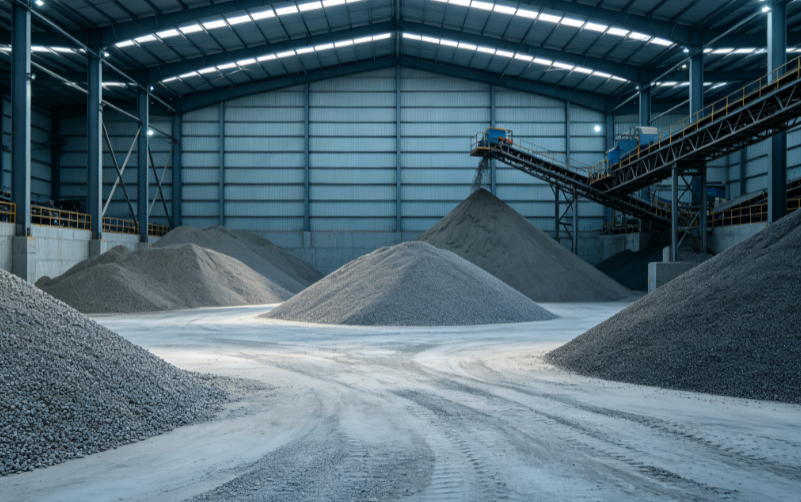
3D LiDAR scanners are deployed at suitable positions around the stockpile area, rotating 180° vertically and 360° horizontally to capture real-time 3D point clouds of the pile. Combined with material density data and processed by professional stockpile-management software, the system accurately computes the volume and weight of each zone and generates threshold alarms. It supports multi-sensor registration and stitching, material zone management, scheduled auto-inventory, self-diagnostics and HTTP remote access, delivering visualized, digital and intelligent warehouse material management.
View ScenarioSilo Level & Volume Measurement
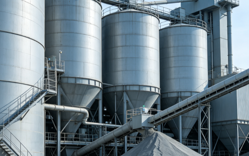
How much material is actually inside a silo or grain bin is invisible. A LiDAR mounted at the top scans down without touching the material and outputs level height and volume in real time (the NEU-3D-M360-50D datasheet specifies grain warehouse volume measurement and level identification).
View ScenarioOverhead Crane Automation
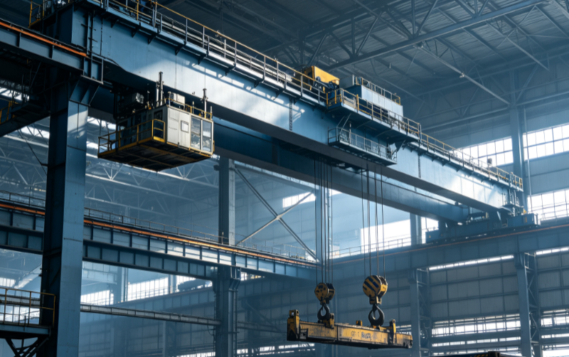
Under an overhead crane, the pile keeps changing. LiDAR monitors the pile/bunker state without touching it, coordinating with crane automation for stable measurement under dynamic operation (specific adaptation parameters pending product department confirmation).
View ScenarioMeasurement Principle & System Architecture
Belt Profile Scanning
Contactless LiDAR scanning of material profile
Flow Computation
Cross-section × belt speed = flow rate
Cumulative Reports
Cumulative volume & tonnage output
DCS Integration
4-20mA / Modbus / OPC UA feed the control room live
Four Core Technical Advantages
Built for harsh coal-yard & warehouse conditions — not lab accuracy
Dust-Penetrating in Heavy Dust
IP67 protection, dust-filter algorithms and multi-echo dust-penetration keep measurements stable at coal yards.
Multi-LiDAR Stitching for Full Coverage
Coordinated multi-LiDAR deployment with multi-view fusion — 3 units cover a 160 m warehouse.
AI Interference Removal
Equipment recognition, dynamic filtering and history compensation remove stacker-reclaimers, dust and other noise.
ERP Integration
REST API / Modbus / OPC connect directly to ERP, MES and WMS with automated reports.
Industries We Serve
Explore customer cases by industry
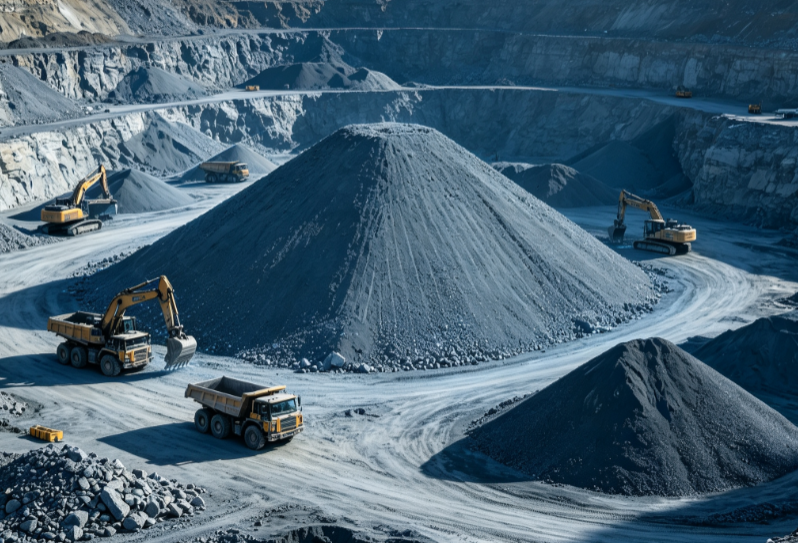 Mining
Monthly stockpile audits & volumetric freight settlement
Mining
Monthly stockpile audits & volumetric freight settlement
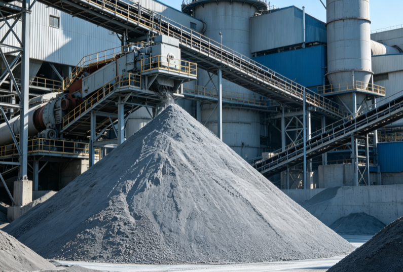 Cement
Clinker & raw stockyard inventory, load metering
Cement
Clinker & raw stockyard inventory, load metering
 Port
Bulk yard handover & loading metering
Port
Bulk yard handover & loading metering
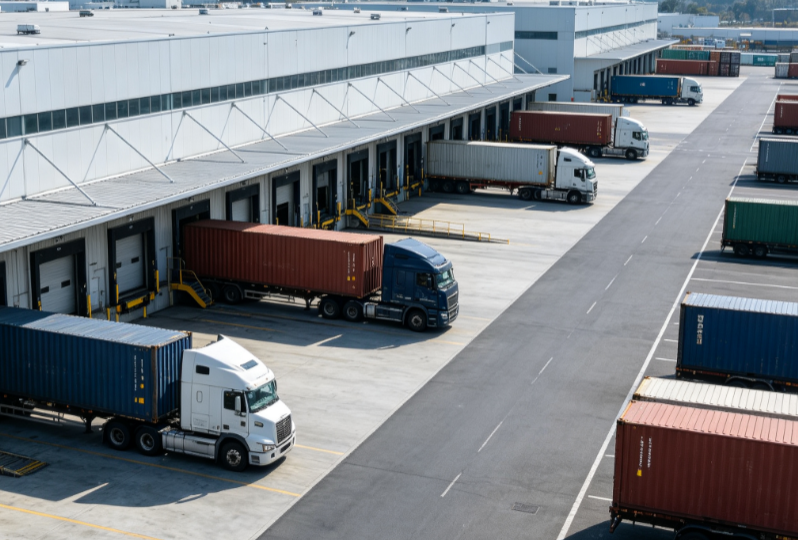 Bulk Material Logistics
Bulk stockpile audits & transshipment load metering
Bulk Material Logistics
Bulk stockpile audits & transshipment load metering
 Warehousing
Indoor stockpile inventory & warehouse digitization
Warehousing
Indoor stockpile inventory & warehouse digitization
 Agriculture
Grain silo & feed stockpile smart inventory
Agriculture
Grain silo & feed stockpile smart inventory
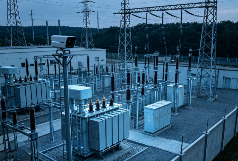 Power Plant
Coal inventory management & feed metering
Power Plant
Coal inventory management & feed metering
 Chemical
 feedstock stockpile inventory & hazardous-area metering
Chemical
Chemical feedstock stockpile inventory & hazardous-area metering
Measurable Value
Stockpile audit time — was 2 days
Volume error; 98%+ accuracy on site
NEU-3D-M360-50D ranging accuracy
Ingress protection for dusty sites
FAQ
More questions? Request an Inventory Demo