Still Converting Weight to Volume?
Truck load volume — from weighbridge & manual estimation to one LiDAR scan
Safety Risk
overload or off-center loads are only caught late, after leaving the site
Accuracy
Weighbridges weigh only — no volume; in split entry/exit layouts, empty and loaded data for the same truck can't be matched
Efficiency
visual checks or spot sampling are slow and unreliable
Financial Impact
results are typed by hand and never reach the management system, complicating month-end reconciliation
- Dynamic in-motion scanning without stopping (<5 km/h) or static scanning with high accuracy (~10 s per scan)
- Automatic truck-bed dimension recognition
- Multi-lane entry/exit measurement with automatic matching of empty and loaded states
- Automatic vehicle identification (RFID/ANPR)
- Automatic recognition of internal stiffener ribs to avoid volume errors
- Integration with PLC control systems and higher-level management platforms.
Four Scenarios Across the Whole Truck Metering Flow
Dynamic, static, truck position, pallet & parcel — click a card for details
Dynamic Truck Volume Measurement Solution
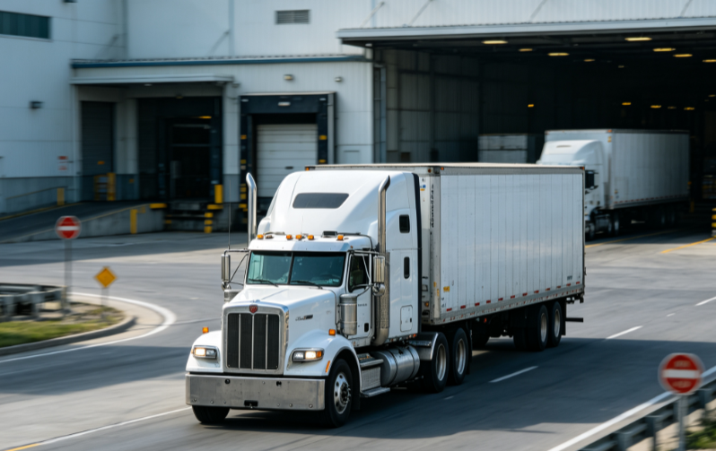
Two single-line LiDARs are mounted vertically above the measurement lane: LiDAR1 scans the truck cross-section and LiDAR2 measures passing speed; both streams fuse into a 3D point cloud. Neuvition's proprietary 3D reconstruction algorithm automatically compares empty vs loaded point clouds to compute load volume. With RFID/ANPR vehicle identification, the plate, volume, records and statistics are handled automatically and can connect directly to PLC and upper management platforms.
View ScenarioStatic Truck Volume Measurement Solution
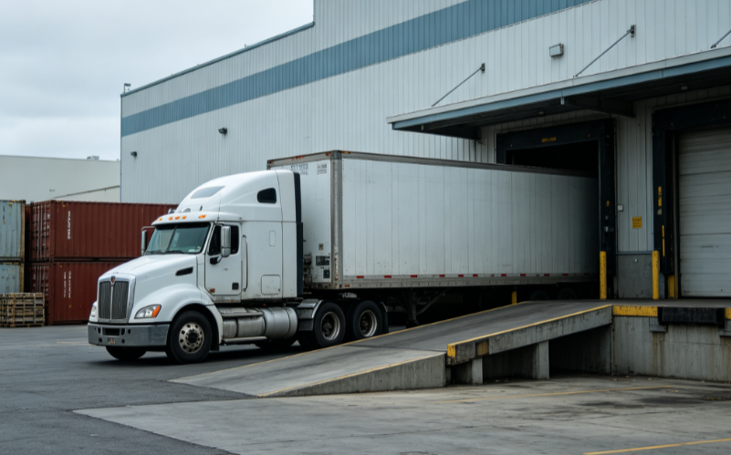
A 3D laser scanner above the station rotates across the truck from side to side, capturing 3D point clouds of the load surface. Neuvition's proprietary 3D reconstruction algorithm automatically compares empty vs loaded point clouds to compute load volume. With RFID vehicle identification, the plate, volume, records and statistics are handled automatically and can connect directly to PLC and upper management platforms.
View ScenarioTruck Position
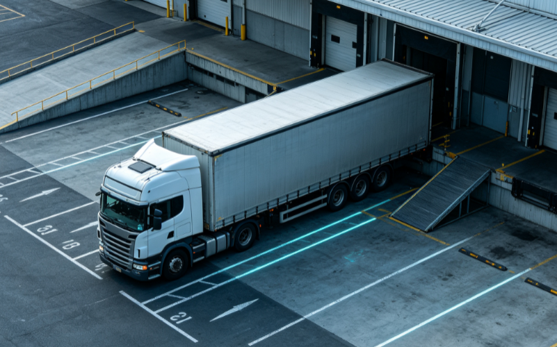
3D LiDAR contactlessly measures the relative position, distance and angular offset between a vehicle/device and a target, feeding real-time corrections to the PLC/control system to support automated loading, unloading and positioning guidance.
View ScenarioPallet & Parcel Dimensioning
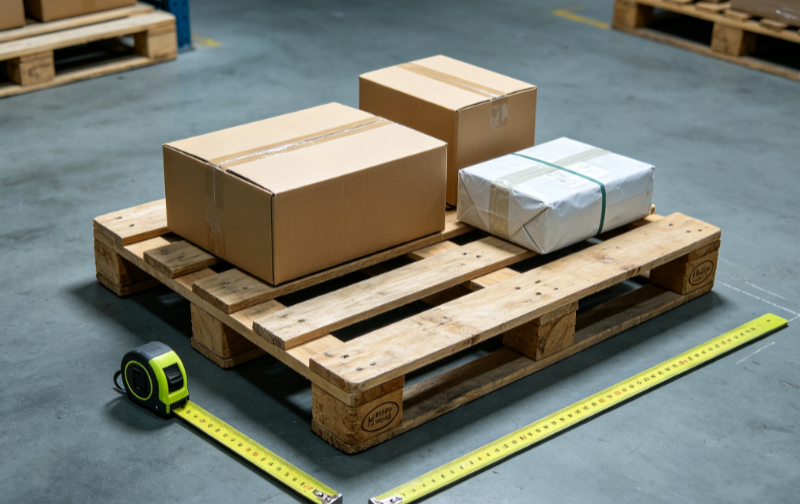
For logistics and warehousing, rapidly and contactlessly measures 3D dimensions of pallets, parcels and cartons for storage volume statistics, freight billing, and sorting/loading optimization.
View ScenarioMeasurement Principle & System Architecture
Belt Profile Scanning
Contactless LiDAR scanning of material profile
Flow Computation
Cross-section × belt speed = flow rate
Cumulative Reports
Cumulative volume & tonnage output
DCS Integration
4-20mA / Modbus / OPC UA feed the control room live
Four Core Technical Advantages
Built for high-frequency traffic — vehicles keep moving
In-Motion Scanning, No Stops
Vehicles pass through under 5 km/h — scanned without stopping, no queues.
Auto Vehicle ID & Empty/Loaded Linking
RFID / ANPR auto-links each vehicle’s empty and loaded scans across entry and exit.
3D Reconstruction with Rib Interference Removal
Empty-vs-loaded point cloud comparison computes volume; truck-bed ribs are auto-recognized to avoid misjudgment.
PLC & Management System Integration
Direct PLC communication and API integration with upper-level systems — data logged automatically.
Industries We Serve
Explore customer cases by industry
 Mining
Monthly stockpile audits & volumetric freight settlement
Mining
Monthly stockpile audits & volumetric freight settlement
 Cement
Clinker & raw stockyard inventory, load metering
Cement
Clinker & raw stockyard inventory, load metering
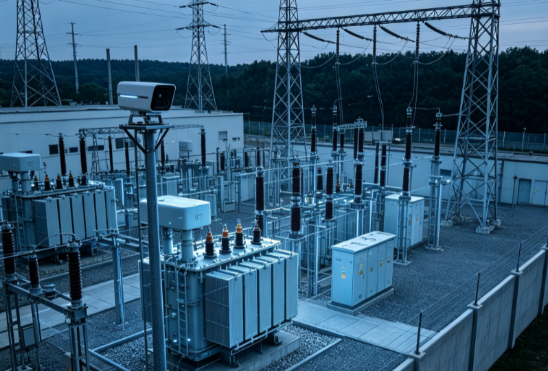 Power
Coal inventory management & feed metering
Power
Coal inventory management & feed metering
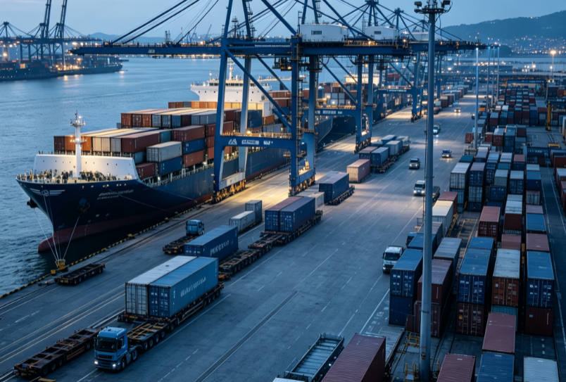 Port
Bulk yard handover & loading metering
Port
Bulk yard handover & loading metering
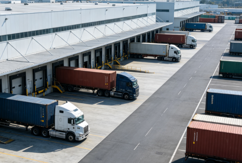 Logistics
Fleet load monitoring & digital waybills
Logistics
Fleet load monitoring & digital waybills
 Grain
Grain depot supervision & load volume
Grain
Grain depot supervision & load volume
Measurable Value
Accuracy 12–25 m³; ±2% above 25 m³
In-motion measurement under 5 km/h
Static scan time per truck
Mounting height up to 9 m
FAQ
More questions? Request a Metering Demo