Why Is Stockpile Inventory So Difficult?
For coal mines, power plants, grain depots, and cement plants, stockpile inventory is the foundation of stock management and trade settlement. But traditional methods usually face the same dilemma: either insufficient accuracy, excessive time, or safety hazards. This article compares four mainstream inventory methods — manual measurement, total station surveying, drone photogrammetry, and LiDAR scanning — across accuracy, efficiency, cost, and safety to help you make the right choice.
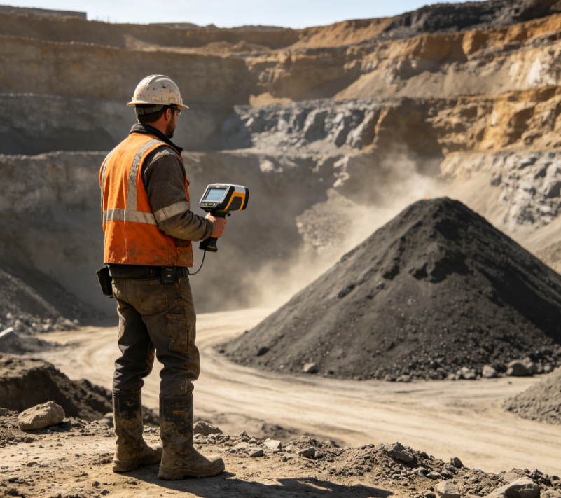
Method 1: Manual Measurement — Low Cost but High Error
Manual measurement uses tools such as tape measures and measuring poles to roughly gauge the stockpile, combined with empirical formulas to estimate volume. Its biggest advantage is near-zero equipment cost, but errors typically reach 5%–10% and depend heavily on operator experience. For large stockyards, manual measurement takes 1–2 days, with obvious data lag.
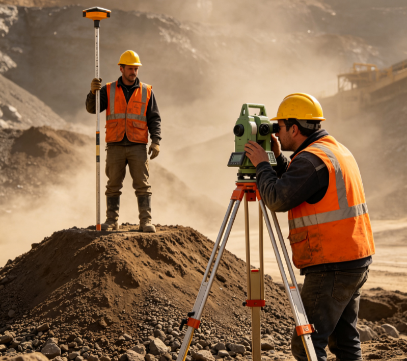
Method 2: Total Station Surveying — Decent Accuracy but Low Efficiency
A total station measures the coordinates of selected feature points on the stockpile surface to fit a volume. Compared with manual measurement, accuracy improves to 2%–5%, but technicians must measure point by point across the yard. Large stockyards take 1–2 days, and workers must enter the yard — sometimes even climb the stockpile — creating safety risks.
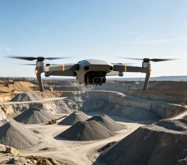
Method 3: Drone Photogrammetry — Wide Coverage but Environment-Dependent
Drones with cameras photograph the stockpile from above and reconstruct a 3D model via photogrammetry to calculate volume. The advantages are wide coverage and no personnel entering the yard; however, photogrammetry relies on lighting and surface texture. In dusty environments or on stockpiles with uniform texture (e.g., coal or gravel piles), errors increase noticeably, and weather has a large impact.
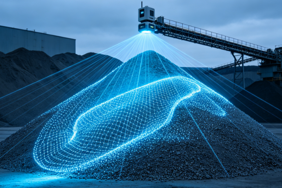
Method 4: LiDAR Scanning — Minute-Level, High Accuracy, Fully Unmanned
LiDAR actively emits laser pulses to scan the stockpile surface, generating high-density 3D point clouds. AI algorithms segment the stockpile boundary, remove interference, and compute volume. Take the Neuvition NV-S100 Stockpile Volume Measurement System as an example: a 10,000-ton stockyard is inventoried within 10 minutes, volume error is ≤1%, no personnel enter the yard, dust filtering algorithms ensure stable operation in dusty environments, and each report includes the 3D point cloud model for review and traceability.
Comparison of the Four Methods
| Dimension | Manual | Total Station | Drone | LiDAR |
|---|---|---|---|---|
| Accuracy | ±5–10% | ±2–5% | ±3–8% | ≤1% |
| Inventory time (10k-ton pile) | 1–2 days | 1–2 days | Half a day | 10 minutes |
| Personnel on site | Required | Required | Not required | Not required |
| Dusty environment | Limited | Limited | High error | Stable |
| Traceable data | None | Point coordinates | Images | Point cloud model |
How to Choose the Right Method for You?
If your stockyard is small and inventory frequency is low, manual measurement or a total station may suffice. If you need accurate book-to-physical matching, high-frequency inventory, and unmanned operation, LiDAR scanning is the optimal long-term solution — especially in high-dust environments like coal yards and cement plants, where LiDAR’s active ranging and dust filtering algorithms provide clear advantages.
FAQ
Want to see how LiDAR inventory can be deployed at your stockyard? Contact us for a tailored measurement proposal and budget estimate.
Related Reading
- More insights from our blog
- Explore Neuvition measurement systems
- Dynamic truck volume measurement solution
Get a Tailored Measurement Proposal
Want to learn how LiDAR volume measurement solves your real-world problem? Contact us for a custom proposal and budget estimate, or request a demo.