How LiDAR Volume Measurement Is Transforming Mining Digitalization
LiDAR volume measurement is reshaping how mines manage inventory. From manual walking surveys to drone mapping to automated 3D scanning, the demand for real-time, accurate, traceable inventory data is driving the technology iteration of stockpile inventory systems. This article analyzes the transformation path and practical benefits.
Pain Points of Traditional Mining Inventory Management
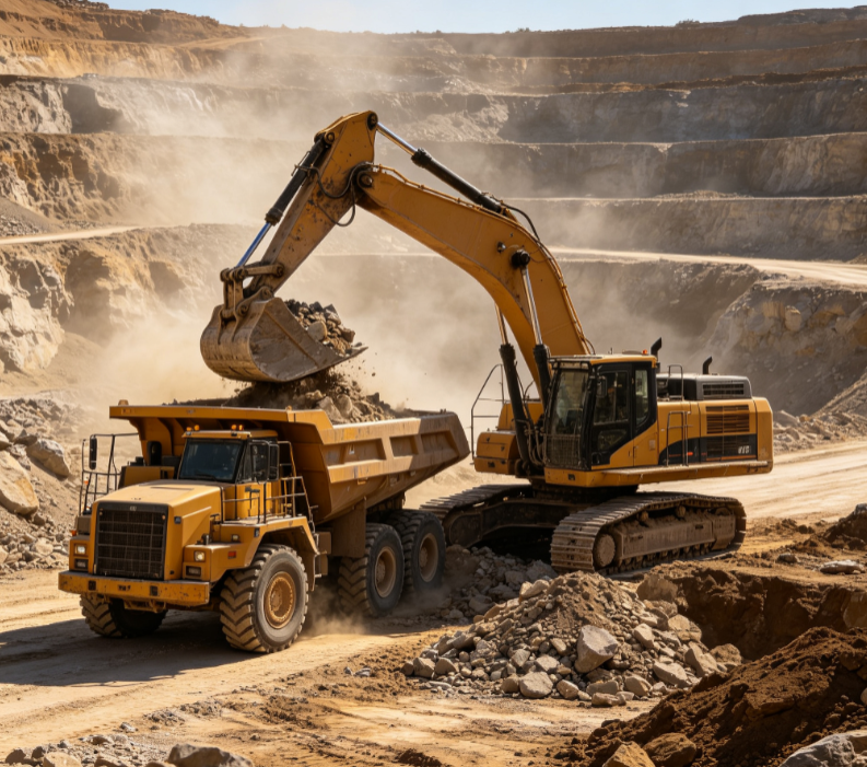
Mining companies face three long-standing pain points in inventory management. First, manual inventory is inefficient — a full survey of a large mine takes 1–2 days, during which production must be interrupted. Second, accuracy is uncontrollable — manual visual estimation and tape measurement often err by 5–10%, distorting inventory data and causing book-to-physical mismatches at month-end. Third, data is delayed — monthly or quarterly surveys cannot reflect real-time inventory changes, affecting procurement decisions and sales scheduling. In addition, climbing stockpiles for measurement poses safety hazards, and the high-dust environment of coal yards further complicates measurement.
The Transformative Advantages of LiDAR Volume Measurement
LiDAR volume measurement systems bring transformation to mining inventory management in three dimensions:
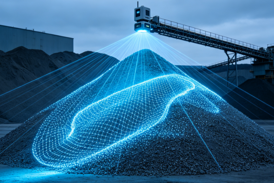
Real-time capability: The Neuvition NV-S100 Stockpile Volume Measurement System measures a single stockpile in just 1–5 minutes, with a ranging distance of 0.5–120 m and point cloud density ≥100 pts/m². On-demand high-frequency measurement turns inventory from “monthly closing” into “daily clearing,” freeing production scheduling from inventory cycles.
Accuracy leap: Volume error ≤1% (regular piles) and ≤2% (complex piles) — an order-of-magnitude improvement over the 5–10% error of manual inventory. Each measurement generates a 3D point cloud model and volume report that can be reviewed and traced, directly affecting the fairness of trade settlement and the accuracy of financial statements.
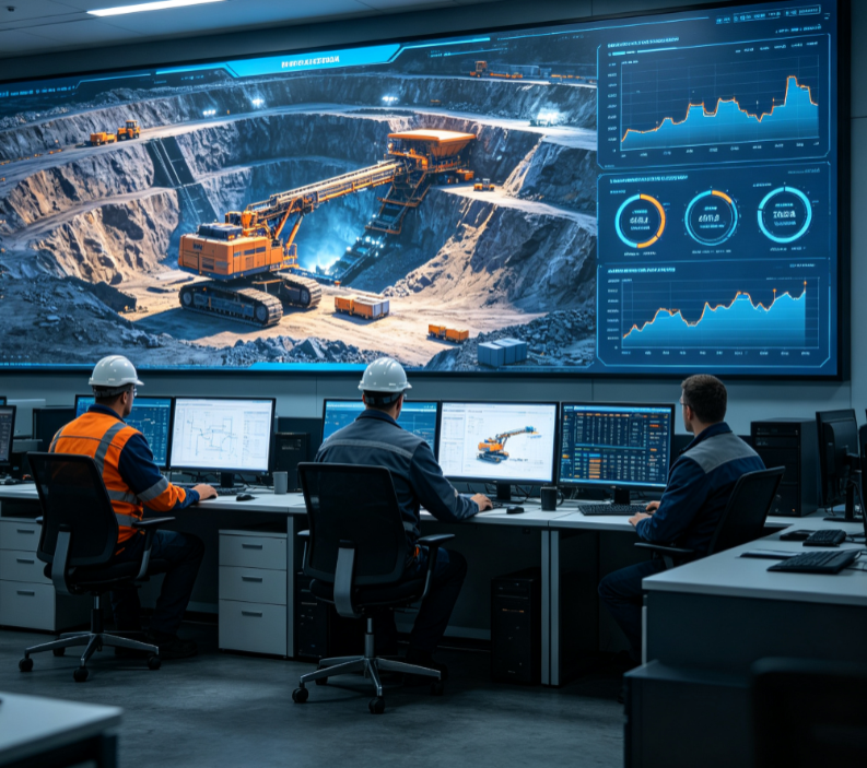
Data assetization: Point cloud data and volume records from every scan are archived automatically, with REST API / Modbus / OPC interfaces for integration with enterprise ERP and WMS systems — building a complete historical data asset that supports trend analysis, anomaly alerts, and audit trails.
Reliable Operation in Dusty Environments
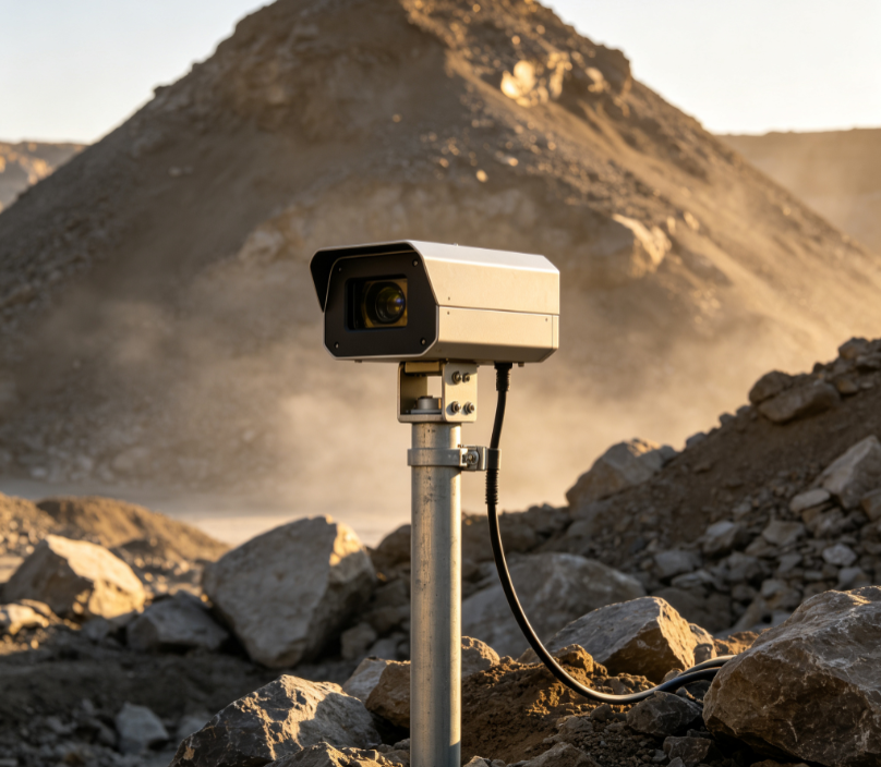
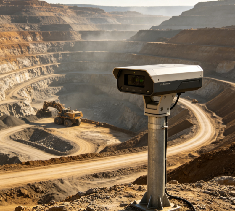
Mining and coal yard scenarios have high dust concentrations that challenge laser measurement. The NV-S100 system includes dust filtering algorithms that identify and remove suspended dust points; the device has IP67 protection and operates from −30 °C to +60 °C, with stable deployments at multiple large coal yards and cement plants. Multi-echo technology further improves data completeness on complex stockpiles and in occlusion scenarios.
From Periodic Inventory to Continuous Monitoring
As 5G and edge computing mature, LiDAR volume measurement is evolving from “periodic inventory” to “continuous monitoring.” Fixed installation can use existing yard light poles, walls, or stacker-reclaimers without major retrofitting, with deployment typically taking 1–3 days. A cloud platform enables centralized multi-site management — viewing inventory distribution across all mining sites from one dashboard — suitable for group-operated mining companies. For more mining application options, see our solutions page.
Summary
LiDAR volume measurement is moving mining inventory management from “manual + experience” to “automated + data.” For mining companies evaluating inventory digitalization, we recommend starting with core stockpiles and choosing a stockpile inventory system with dust-environment adaptability, multi-site management capability, and standard industrial interfaces — achieving real-time, accurate inventory data with minimal investment.
FAQ
Q: Is LiDAR measurement reliable in dusty environments? A: Yes — the NV-S100 system includes dust filtering algorithms that identify and remove suspended dust points, with IP67 protection and an operating range of −30 °C to +60 °C, and has run stably in high-dust scenarios such as coal yards and cement plants.
Q: Can the system integrate with our ERP? A: Yes — NV-S100 provides REST API / Modbus / OPC interfaces, with completed integration cases with mainstream ERP and WMS systems, enabling automatic inventory data upload and centralized multi-site management.
Q: Which is more accurate: LiDAR or drone photogrammetry? A: LiDAR uses active ranging, is unaffected by lighting, and produces denser point clouds (NV-S100 ≥100 pts/m²), with more stable filtering in dusty environments; photogrammetry depends on lighting and texture, so errors increase on stockpiles with uniform texture.
Get a Tailored Measurement Proposal
Want to learn how LiDAR volume measurement solves your real-world problem? Contact us for a custom proposal and budget estimate, or request a demo.