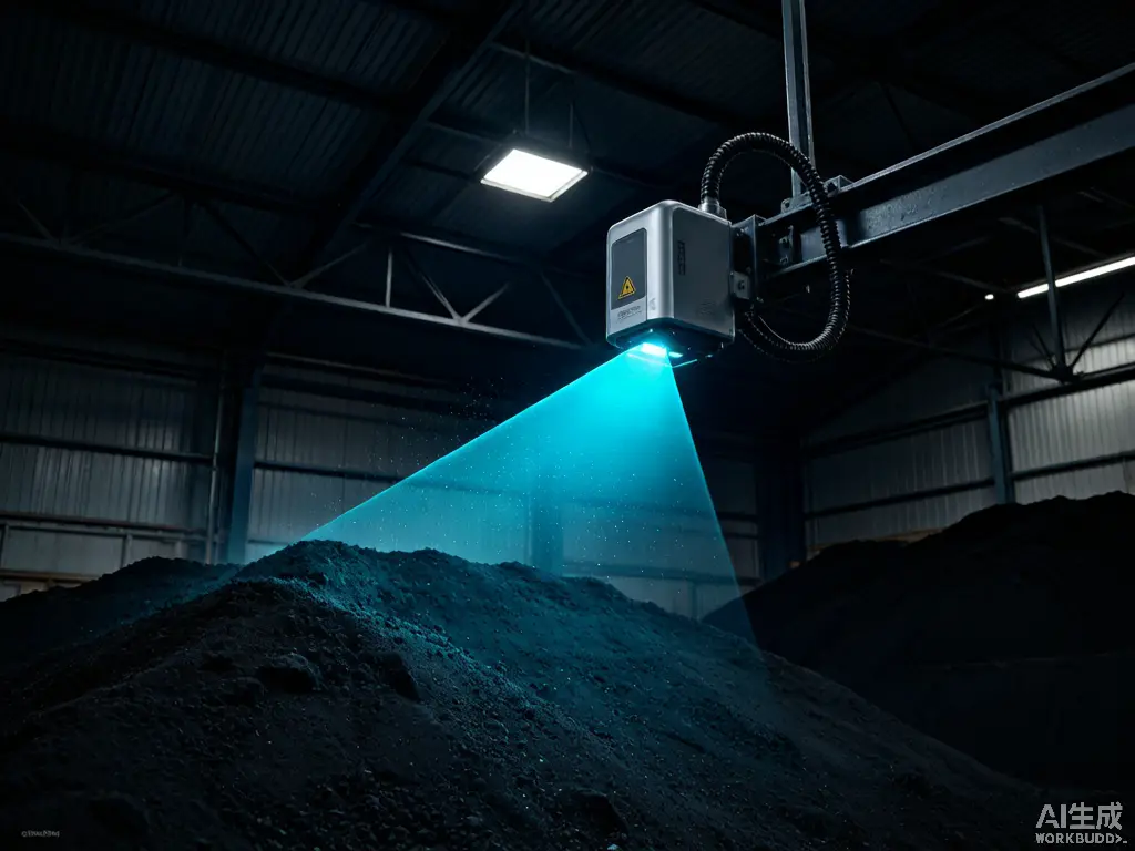
From scanning to results — a fully automated chain
Fixed (shed roof / stacker-reclaimer) or mobile (drone / vehicle / handheld) LiDAR scans the stockpile surface → generates high-density 3D point clouds → AI algorithms segment the stockpile boundary and remove interference such as stacker-reclaimer equipment → fit the reference plane and calculate volume → output volume reports and 3D models.
Fixed (shed roof / stacker-reclaimer) or mobile (drone / vehicle / handheld) LiDAR scans the stockpile surface
generates high-density 3D point clouds
AI algorithms segment the stockpile boundary and remove interference such as stacker-reclaimer equipment
fit the reference plane and calculate volume
output volume reports and 3D models.
These Scenarios Are Draining Your Profit
Typical problems and costs of traditional measurement
Manual inventory has high error
Manual inventory errors often reach 5–10%, causing book-to-physical mismatches at month-end and affecting procurement and sales decisions.
Inventory takes too long
Total station surveying is time-consuming — large stockyards take 1–2 days, and climbing stockpiles poses safety hazards.
Inventory data lags
Outdated inventory data affects procurement/sales decisions; port bulk stockyard handover relies on manual measurement.
Why Neuvition
Minute-level inventory: a 10,000-ton stockyard shrinks from 2 days to 10 minutes
Verifiable accuracy: error ≤1%, reports include point cloud model for review and traceability
Unmanned, safe operation: no climbing or yard entry; stable in high-dust coal yard environments
Real-time inventory: on-demand high-frequency measurement turns inventory from "monthly closing" to "daily clearing"
Centralized multi-yard management: view inventory across all sites from one platform